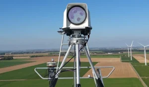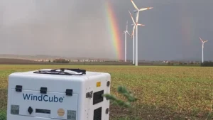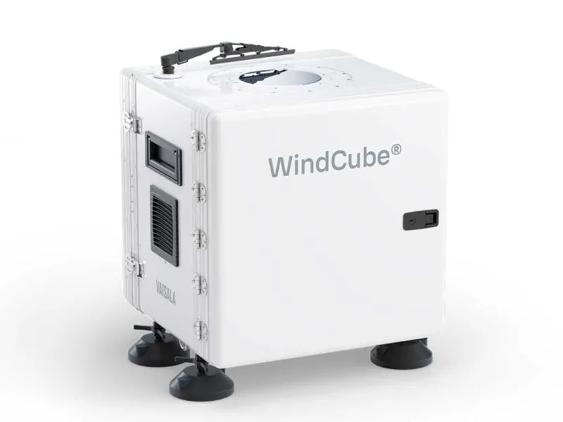
Vaisala WindCube® 2.1 XP
World’s most accurate vertical wind lidar, delivering bankable wind resource data for your utility scale wind projects.
Bankable wind data beyond your met mast measurements.
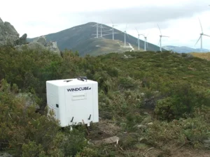
Complement your met mast measurements or use WindCube as a stand-alone solution for accurate and bankable wind data.
- Capture wind data from the full rotor sweep height with measurements that reach up to 400m.
- Faster deployment and lower costs with no permitting
- Get data simultaneously from 20 heights for full wind profile
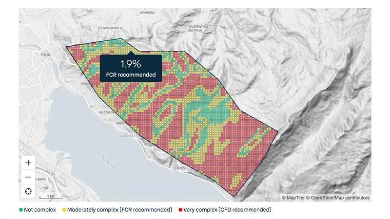
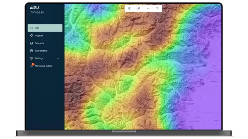
- Easily relocate your WindCubes to capture spatial variations of your site
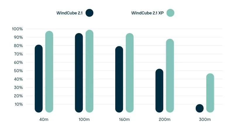
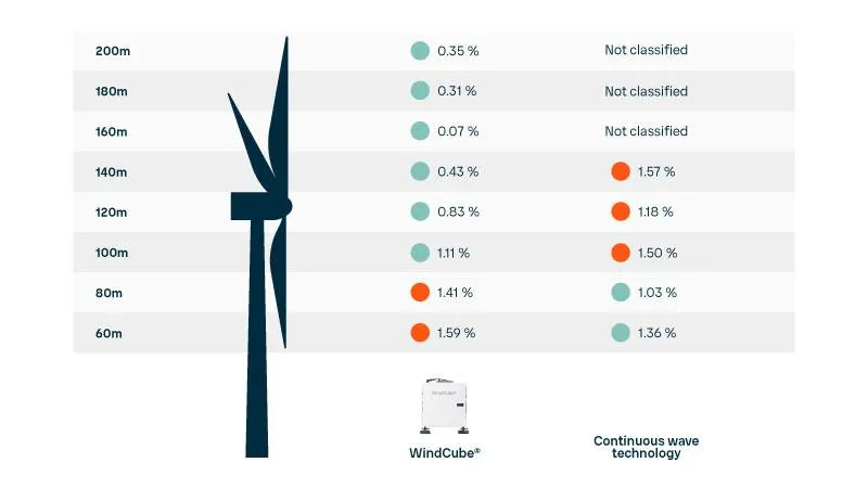
Accuracy where it matters most
Critical measurement heights for large and utility scale wind projects range between 60m to 270m (rotor sweep height). WindCube uses pulsing technology featuring constant probe volume and patented wind reconstruct algorithm to achieve the industry’s lowest measurement uncertainties for heights that are the most important for your wind resource assessment (WRA).