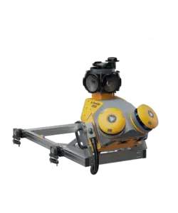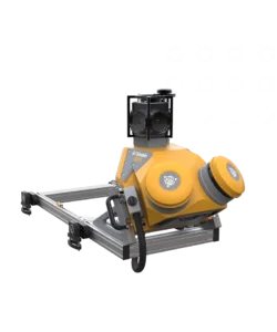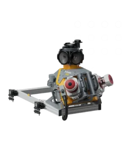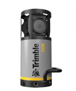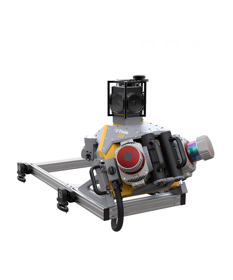
Trimble MX9
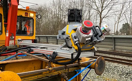
Productive rail mobile mapping.
For rail construction or asset management projects, the Trimble® MX9 system is part of a complete field-to-finish mobile mapping solution that combines state-of-the-art hardware with intuitive field software and a reliable office software workflow.
Premium, powerful mobile mapping solution
State-of-the-art GNSS and inertial technology combined with leading-edge hardware, with intuitive field software that is easy to install and simple to operate.
Produce and share robust deliverables efficiently
Capture, process, extract and share high density point clouds and rich, immersive imagery to produce meaningful deliverables. Discover new productivity levels leveraging the complete Trimble field-to-finish workflow.
Specifications of Trimble MX9
- Weight – Sensor unit 37 kg
- IP rating – Sensor unit IP64
- Spherical camera – 30 MP (6 x 5 MP)
- Planar cameras – 2 X 12 MP side facing, 1 X 12 MP backward/downward facing
- Laser effective measurement rate – Up to 3.6 MHz
- Scan speed – 500 scan/sec
- Embedded Trimble GNSS-inertial system – Trimble field-to-finish workflow
Product Resources
| Document Title | Download |
|---|---|
| Datasheet - Trimble MX9 Mobile Imaging System - English US - Screen | Download |