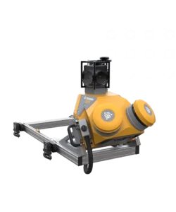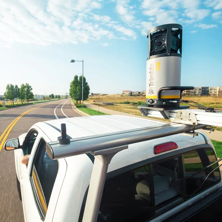
Trimble MX7
Easy mobile image capture system.
The Trimble® MX7 mobile mapping system makes it easier for your team to manage assets. Collect 360-degree images in the field, then extract and analyze image data in the office. Welcome to the world of mobile imaging.
Key specifications
Trimble MX7 quickly and safely captures road, infrastructure and city environmental data in static or mobile positions, up to highway speeds.
- Vehicle-mounted – Get real-life street views
- Panoramic data – Capture 360 degree images
- Detailed data – 30 megapixel, georeferenced images
Perfect for newcomers
If you are new to mobile mapping, Trimble MX7 is the best mobile imaging device for you. Collect field panoramas, then complete asset management workflows.
Via WiFi-enabled PC or tablet
Use the easy-to-use, intuitive Trimble MX software to set system parameters, manage data recording and plan your project.
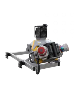
Collecting the best images
The MX7 comes complete with six separate 5 megapixel CMOS-sensors and a Trimble Applanix GNSS and inertial georeferencing system.
Do more with Trimble MX software
The optionally included office software enables you to extract, analyze and measure the images you’ve collected in the field, then publish them online.