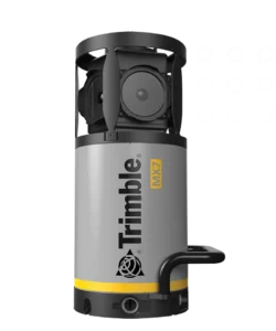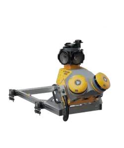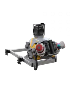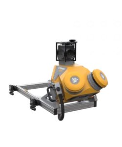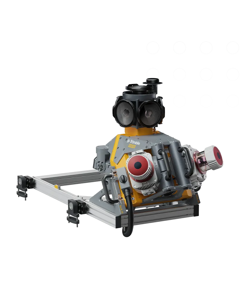

Trimble MX90
Benefits and performance
Leverage your large-scale rail scanning and mobile mapping projects with the Trimble MX90 system.
Premium, powerful mobile mapping solution
State-of-the-art GNSS and inertial technology, easy to install and simple to operate. With leading-edge image and LiDAR capabilities and intuitive field software.
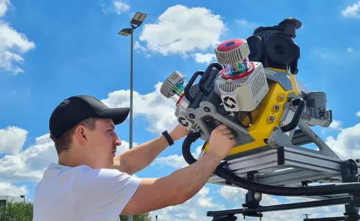
Produce and share robust deliverables efficiently
Capture, process, extract and share high density point clouds and rich, immersive imagery to produce meaningful deliverables. Discover new productivity levels leveraging the complete Trimble field-to-finish workflow.
Key specifications
The Trimble MX90 captures rich data for modeling and high-density point clouds, ideal for large survey and engineering projects.
- Laser effective measurement rate – Up to 3.6 MHz
- Spherical camera – 72 MP (6 x 12 MP)
- Inertial Measurement Unit (IMU) – Enhanced GNSS precision