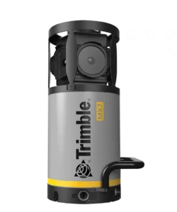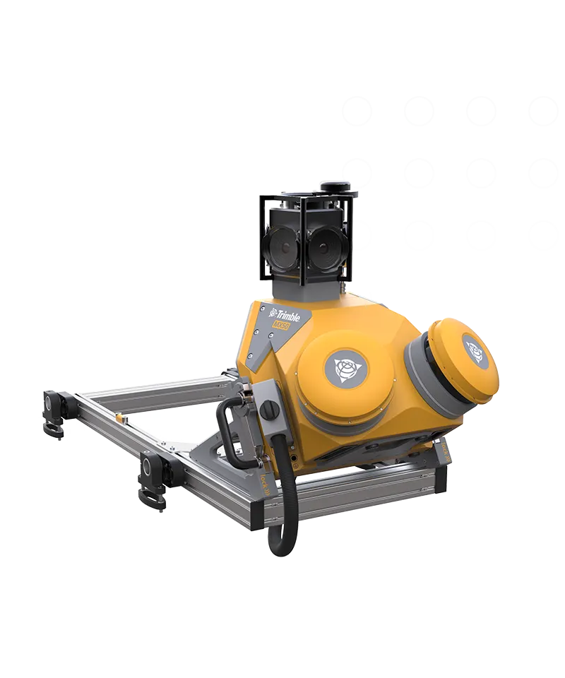
Trimble MX50
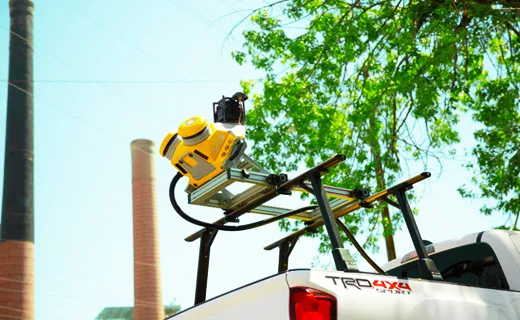
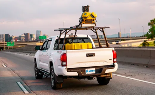
Take productivity on the road.
The Trimble® MX50 mobile mapping system delivers accurate point clouds with immersive imagery for easy asset management, mapping and maintenance.
Benefits and performance
Whether you are a new or experienced mobile mapping professional, get ready to experience significant productivity gains with the Trimble MX50.
Take control of your data capture projects
Effortlessly capture, process, extract and share data with proven field‑to‑finish workflows for asset mapping and asset data management.
Highly productive, yet simple to use
Leveraging state-of-the-art Trimble LiDAR technology, Trimble MX50 delivers accurate data together with immersive imagery and efficient workflows needed for substantial gains in productivity.
Key specifications
Powered by a Trimble precise laser system and 360-degree panoramic camera, the MX50 handles data flows seamlessly, at top speed, with high accuracy.
Laser effective measurement rate -Up to 960kHz
Spherical camera – 30 MP (6 x 5 MP)
Embedded Trimble GNSS-inertial system