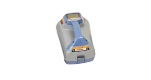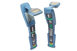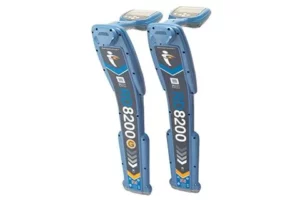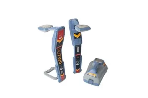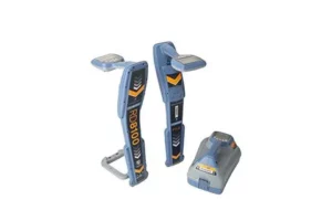
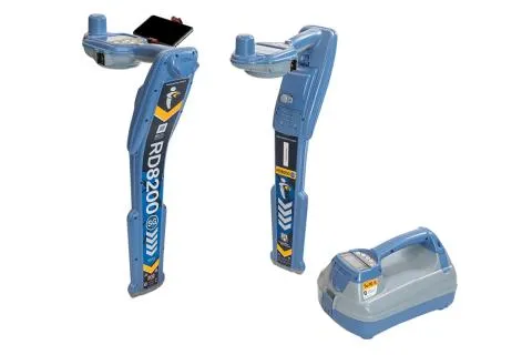
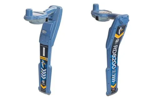

Radiodetection RD8200SG Survey Grade Locator
Radiodetection RD8200SG
Flexibility to work with the system that works for your business
- Choose your preferred mobile app and correction service provider.
- Industry standard file formats to use with your mapping software.
- Directly export the data from the locator with RD Manager Online.
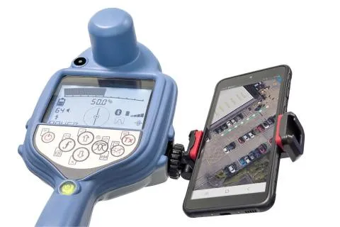
- Use any Android phone or tablet*
- *Minimum operating system required.
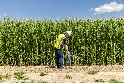
Locate experts. Integrate mapping into your utility locate procedures.
- Build a comprehensive inventory of large, buried infrastructure networks.
- Minimal additional training for utility operators.
- No separate resources required for utility mapping.
Mapping experts. Integrate utility locating into your mapping procedures.
- Walk the line once.
- Simultaneously map and locate utilities, without compromising on quality.
- Locate as accurately as possible, map as accurately as possible.
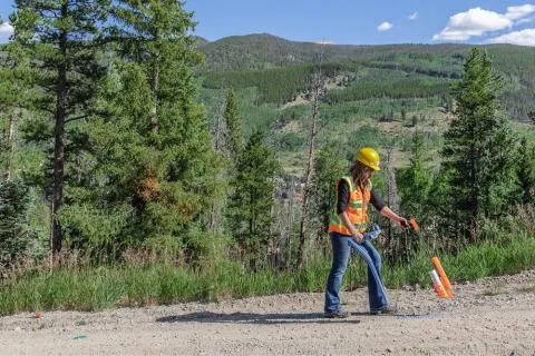
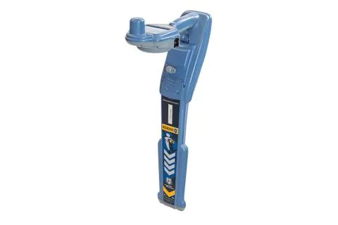
Designed for continuous use in the field
- Integrated GNSS antenna.
- Automatic antenna offset avoids tilting back.
- Bubble for optimum precision.
Make the RD8200SG work for you
- View and build your map on your mobile phone.
- Flexible solution, can work with any correction service provider and mapping solution.
- Works where cellular data and correction service are available.
Ergonomic design, premium quality
- Lightweight and ergonomic.
- Rugged design to cope with real world conditions such as rain, dirt and extreme temperatures.
- Designed and built in the United Kingdom.